LIGHTSPEEDWEATHER.COM
How long is this cold weather gonna last?
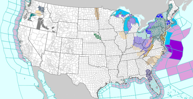
Cold air outbreaks associated with Arctic fronts and lingering winter patterns have brought unusually cold temperatures, snow, and ice across large parts of the U.S. recently - especially in the Eastern and Central U.S.. This has led to extended periods of sub-freezing temperatures in places like the Northeast and Midwest.
Where the Cold Is Happening
- Eastern and Southeastern U.S.: Deep freezes from the Southeast up through the Mid-Atlantic and Northeast, with below-freezing temps and frost advisories continuing.
- Midwest and Northern States: Persistent cold and snowy conditions in states like Ohio, Pennsylvania, Michigan, and New York, with records for freezing streaks in some cities.
- Southern States: Rare sub-freezing temperatures and impacts in parts of the Deep South (e.g., Florida, Mississippi, Tennessee).
How Long the Cold Lasts
- Short-term (next 7-10 days): Forecasts show continued below-normal temperatures through about mid-February, especially east of the Rockies. Some forecasts suggest additional Arctic blasts may arrive in the first half of February, though not all will be as extreme as the recent ones.
- Near-term moderation: Local forecasts (such as for parts of Ohio) show temperatures warming above the coldest values by mid-next week, with highs returning closer to or above normal before another potential cooldown later. (This trend varies regionally.)
- Seasonal context: Official winter outlooks and climate indicators suggest colder than average conditions may linger in some regions into late winter/early spring, but with fluctuations rather than a continuous deep freeze everywhere.
Why It's Happening
Meteorologists link this pattern to:
- Shifts in the jet stream and polar vortex allowing Arctic air to dip farther south than usual.
- Seasonal winter dynamics and existing La Niña influences, which can enhance cold air penetration in certain regions.